Projects
Tujunga Wash
Interactive
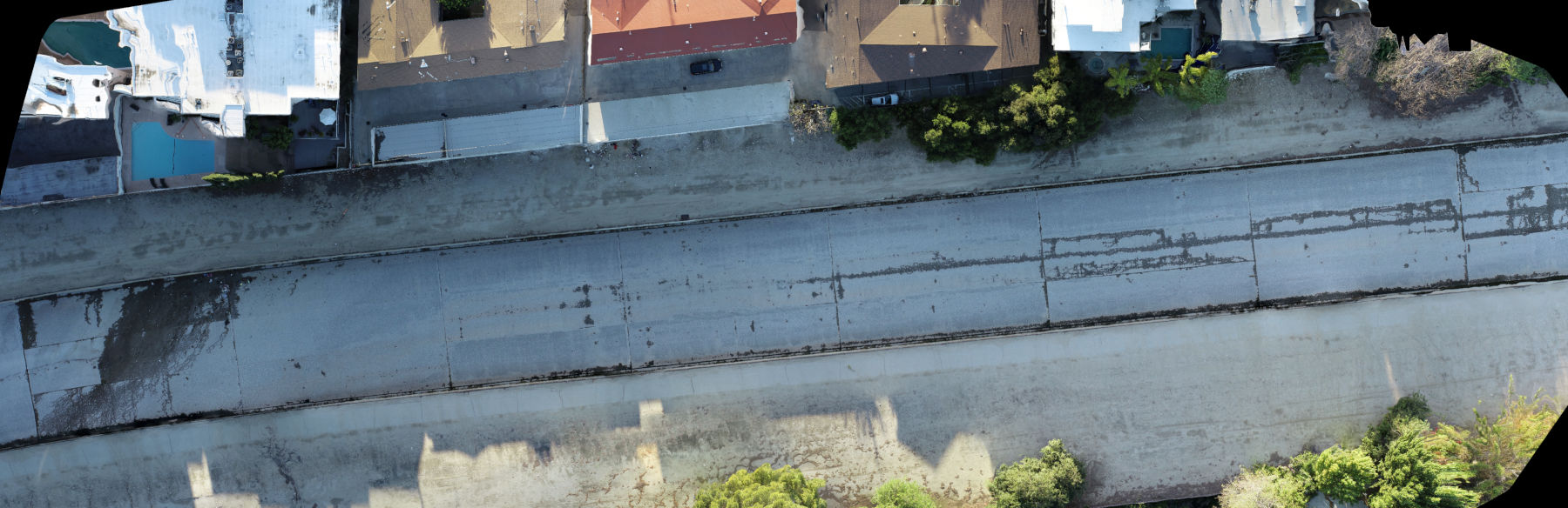
Orthomosaic
High-resolution orthomosaic generated from overlapping aerial imagery using photogrammetry.
Preview
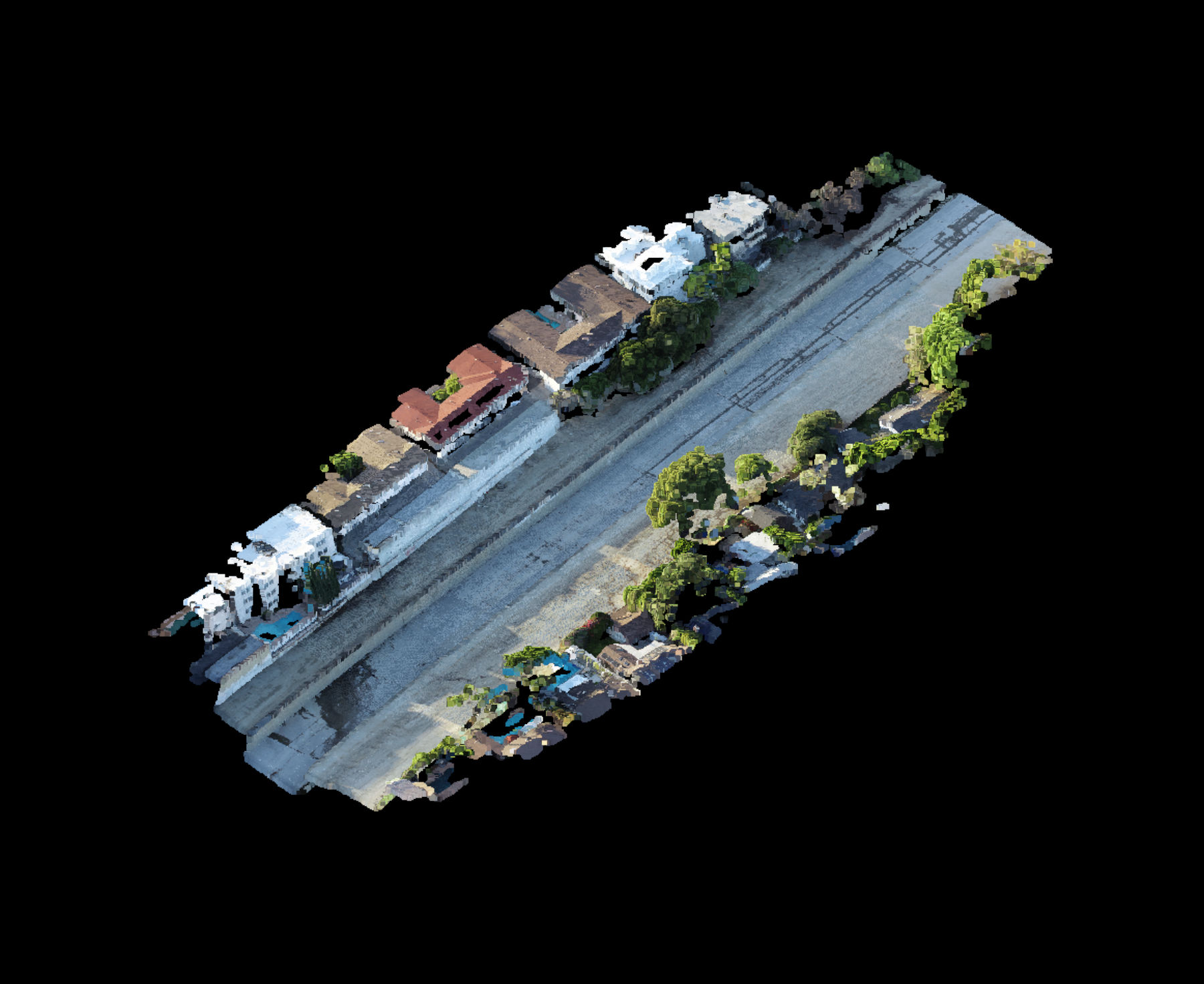
Dense Point Cloud
Dense point cloud preview showing spatial geometry captured from overlapping drone imagery. Full-resolution dataset and viewer access available upon request.
Interactive
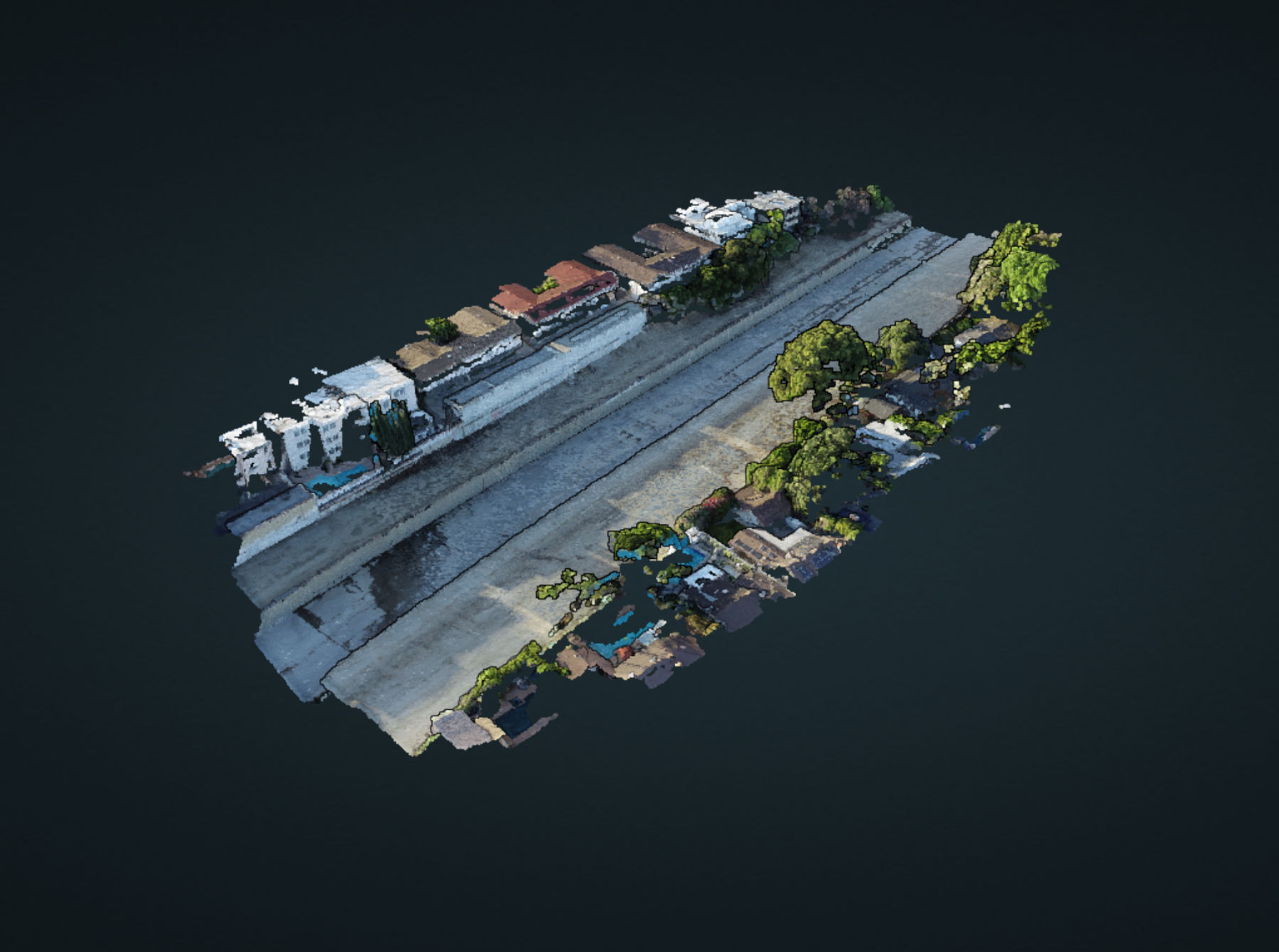
3D Reconstruction
Textured 3D reconstruction created from overlapping drone imagery.
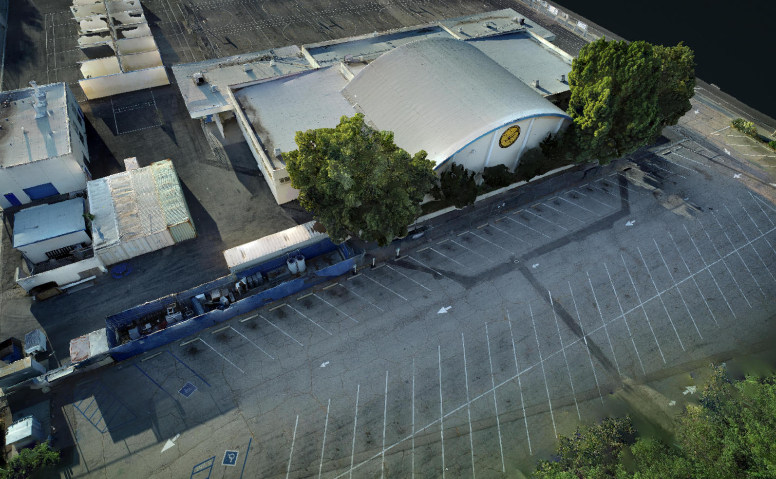
Louis Armstrong Middle School
Interactive
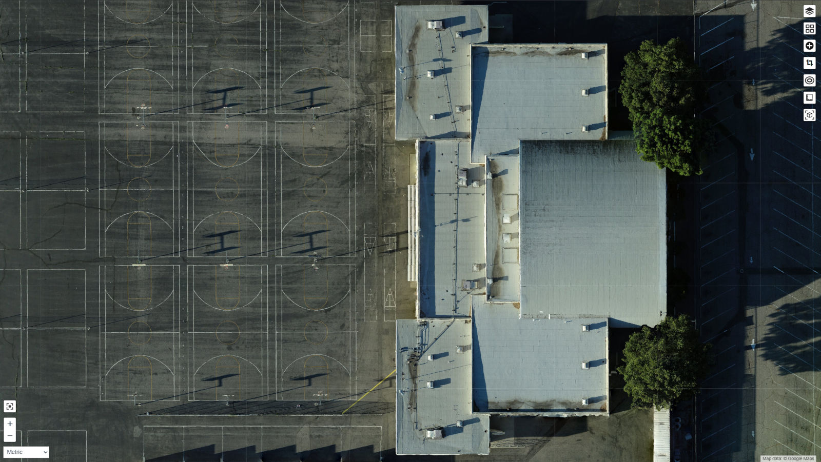
Orthomosaic
High-resolution orthomosaic generated from overlapping aerial imagery using photogrammetry.
Preview

Dense Point Cloud
Dense point cloud preview showing spatial geometry captured from overlapping drone imagery. Full-resolution dataset and viewer access available upon request.
Interactive
3D Reconstruction
Textured 3D model of a school building generated from overlapping aerial imagery.